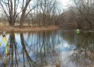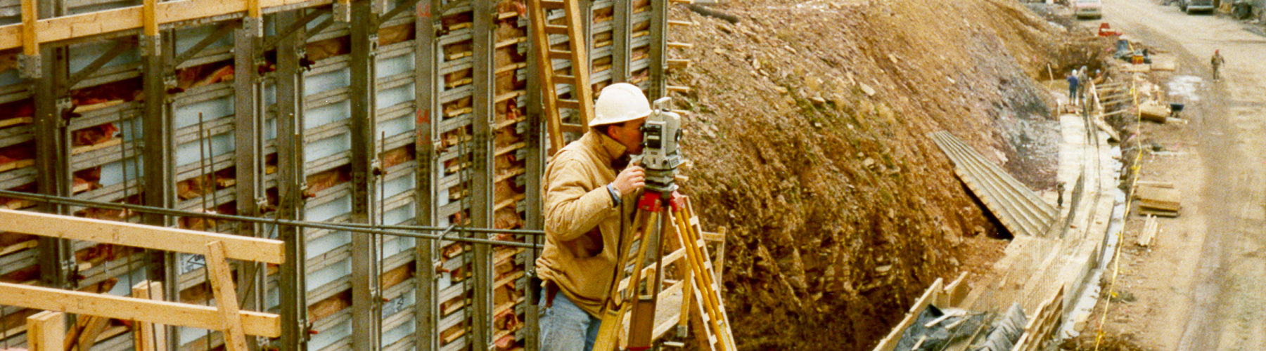
Isett has experience in boundary, right-of-way and topographic surveys; we can research all available records for tax maps, deeds, easements, county maps, and more to develop mapping that can then be used for project base mapping. Isett’s field survey personnel remain flexible to respond on short notice and are trained to utilize GPS and robotic total station technology.
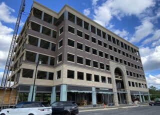
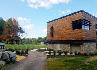
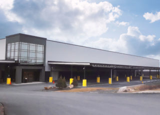
Our base plans are used by architects, developers, and municipalities, as well as commercial, industrial, and institutional clients for planning, site developments, and subdivisions.
Our professional surveyors are trained in the latest drone and 3D scanning technology and can field up to seven survey crews simultaneously.
View Isett’s Survey capabilities.
Interested in learning more or requesting a survey? Contact our Survey Department by completing this form.
- 3D Laser scanning
- ALTA
- Boundary
- Construction
- Flood elevation certifications
- Geographic Information System (GIS)
- Global Positioning System (GPS)
- Topographic
- Utility
- Drone survey (including NDAA compliant drones)